
Understanding the Heartbeat of Modern Navigation
Global Navigation Satellite Systems (GNSS) have revolutionized how aircraft traverse the globe, offering pinpoint accuracy from takeoff to landing. However, as reliance on satellite technology grows, so does the sophistication of threats targeting these vital signals. At X Aviate International Aerospace, we prepare our student pilots not just to fly under ideal conditions, but to master aviation safety when systems are compromised. In Part 1 of our comprehensive series on GNSS vulnerabilities, we examine why these signals are fragile, the distinct dangers of jamming versus spoofing, and how modern flight decks maintain situational awareness when GPS fails.
Why Signals Traveling 20,000 Kilometers Are Vulnerable
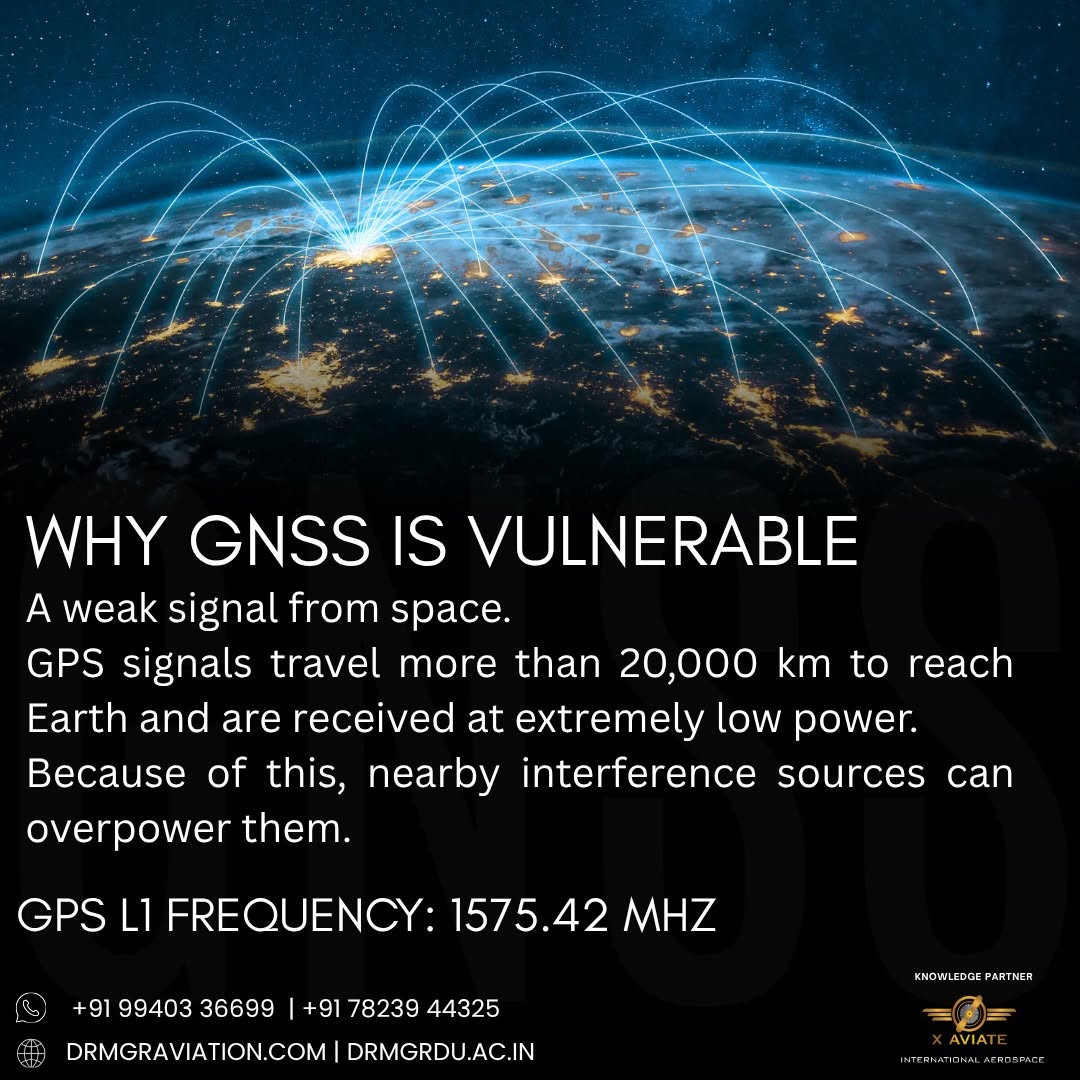
To understand GNSS vulnerability, one must first appreciate the journey the signal makes. GPS and other satellite constellations orbit at approximately 20,000 kilometers above the Earth. By the time these low-power radio frequency signals reach the aircraft’s antenna, they are remarkably faint—often compared to viewing a 60-watt lightbulb from thousands of miles away. Because these signals are so weak, they require very little energy to overpower. This fundamental physical characteristic makes satellite-based navigation inherently susceptible to local and regional interference.
Jamming vs. Spoofing: Decoding the Threats
When discussing radio frequency interference, it is vital to distinguish between two primary methods of disruption:
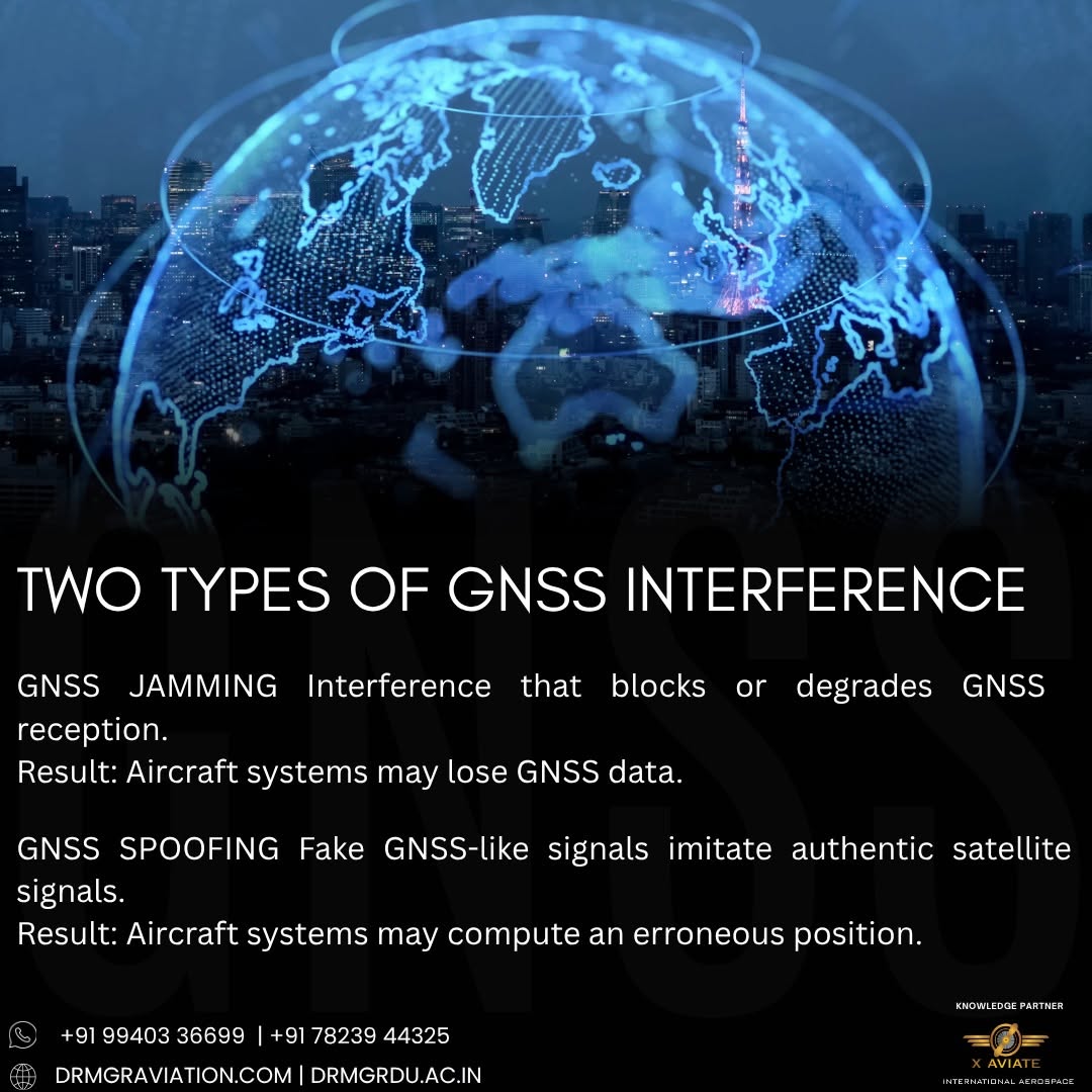
- Jamming: Jamming involves broadcasting a stronger radio frequency on the same frequency band as the GNSS, effectively drowning out the legitimate satellite signal. The result is a loss of position, navigation, and timing (PNT) data. While disruptive, jamming is usually obvious to the flight crew because modern avionics will immediately flag a loss of GNSS integrity.
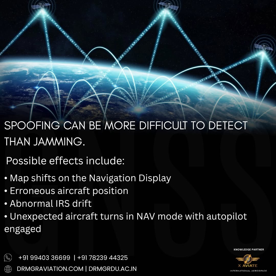
- Spoofing: Spoofing is far more insidious. A spoofing device transmits fake, synchronized GNSS signals that mimic real satellite data. Instead of simply losing the signal, the aircraft’s navigation system is subtly fed incorrect coordinates, potentially steering the aircraft off course without triggering immediate, alarming warnings on the flight deck.
Recognizing the difference between these two threats is a core competency taught during our advanced ground school and simulator training sessions here at X Aviate International Aerospace in Chennai.
Redundancy in the Cockpit: How Aircraft Stay Safe
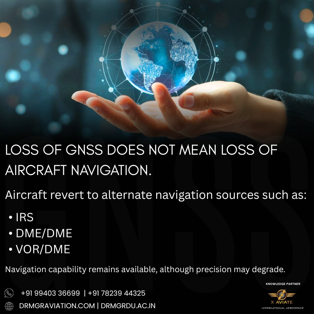
Modern commercial and general aviation aircraft are designed with multiple layers of redundancy. When GNSS signals are degraded, jammed, or spoofed, pilots do not suddenly lose control of their navigation. Instead, aircraft systems seamlessly transition to alternative navigation sources:
- Inertial Reference Systems (IRS): Utilizing laser gyroscopes and accelerometers, the IRS continuously calculates the aircraft’s position, velocity, and attitude independently of external radio signals. While IRS can drift over extended periods, it provides precise short-term navigation during a GPS outage.
- Distance Measuring Equipment (DME/DME): Traditional ground-based radio navigation stations allow Flight Management Systems (FMS) to triangulate position by measuring the distance to known ground transponders.
- VHF Omnidirectional Range (VOR): Pilots can rely on traditional terrestrial radio beacons to verify headings and maintain safe track alignment along airways.
Preparing the Next Generation of Resilient Aviators
At X Aviate International Aerospace, we believe that understanding the limitations and vulnerabilities of modern avionics is just as important as knowing how to operate them. Our rigorous training programs integrate real-world threat scenarios into our flight simulators, ensuring that every aspiring pilot graduating from our academy possesses the situational awareness and technical expertise required to handle unexpected navigation anomalies.
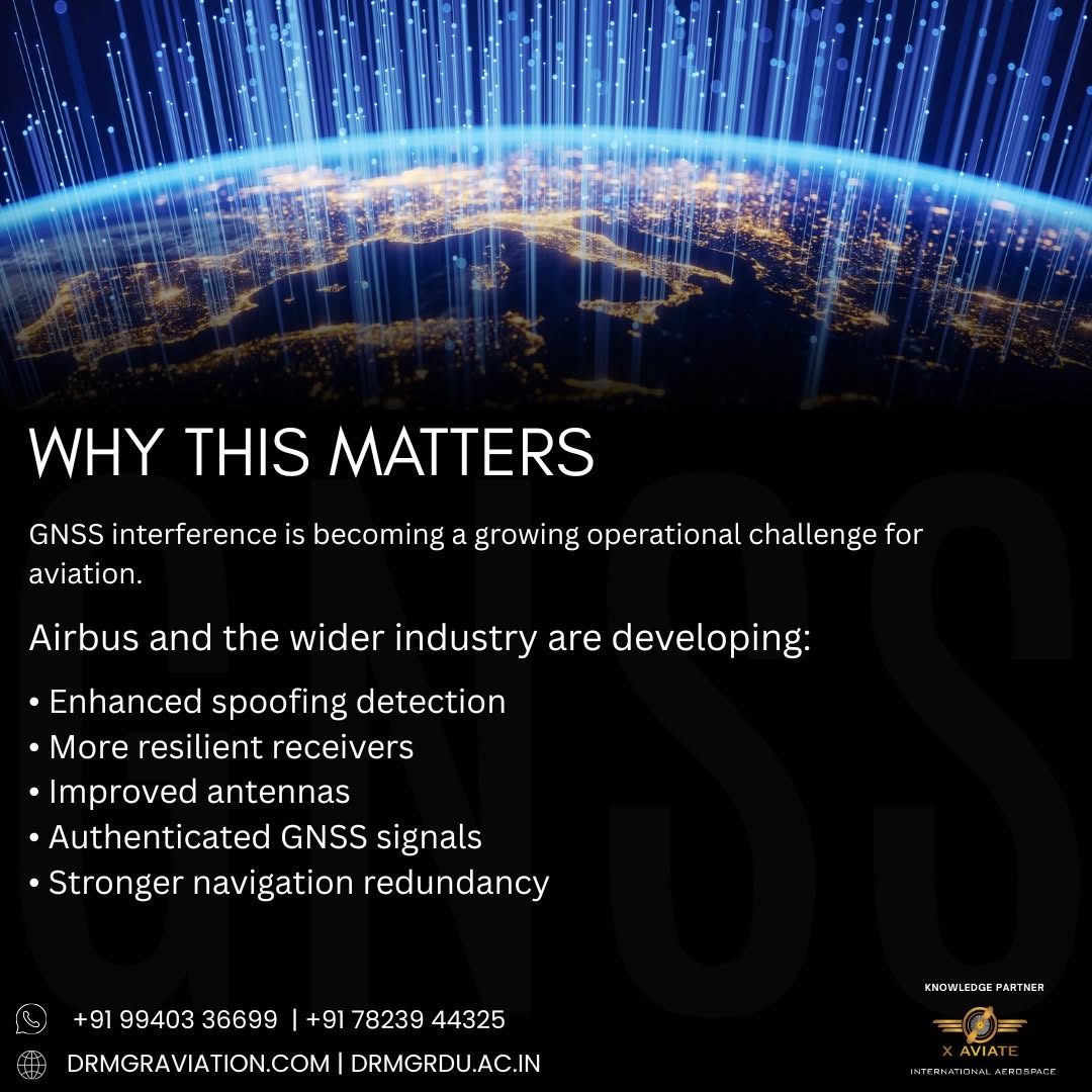
Stay tuned for Part 2 of our series, where we will explore advanced mitigation strategies, regulatory updates, and the future of resilient aerospace engineering.
Frequently Asked Questions
What is the difference between GNSS jamming and spoofing?
Jamming overpowers legitimate satellite signals with noise, resulting in a loss of navigation data. Spoofing transmits false signals that trick the aircraft’s navigation system into accepting incorrect coordinates.
Why are GNSS signals easy to disrupt?
GNSS signals travel over 20,000 kilometers from satellites to Earth, arriving with very low power, making them easily overpowered by local interference.
How do aircraft navigate if GPS fails?
Modern aircraft rely on redundant systems such as Inertial Reference Systems (IRS), Distance Measuring Equipment (DME/DME), and traditional VOR ground stations.
How does X Aviate International Aerospace prepare pilots for navigation failures?
We incorporate realistic threat scenarios and avionics failure protocols into our advanced ground school and simulator training programs.